An unknown bomb-site
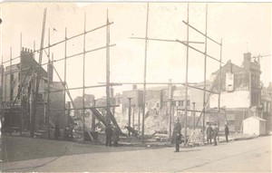
Postcard showing what is obviously a bomb-site, but where?
Gt Yarmouth Museums
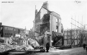
This photograph reproduced courtesy of Colin Cockle
Postcard showing a bomb-site - but where and when?
By John Layton
This postcard shows what is obviously a bomb-site, but has anybody any idea where this was, and more particulary, when?